
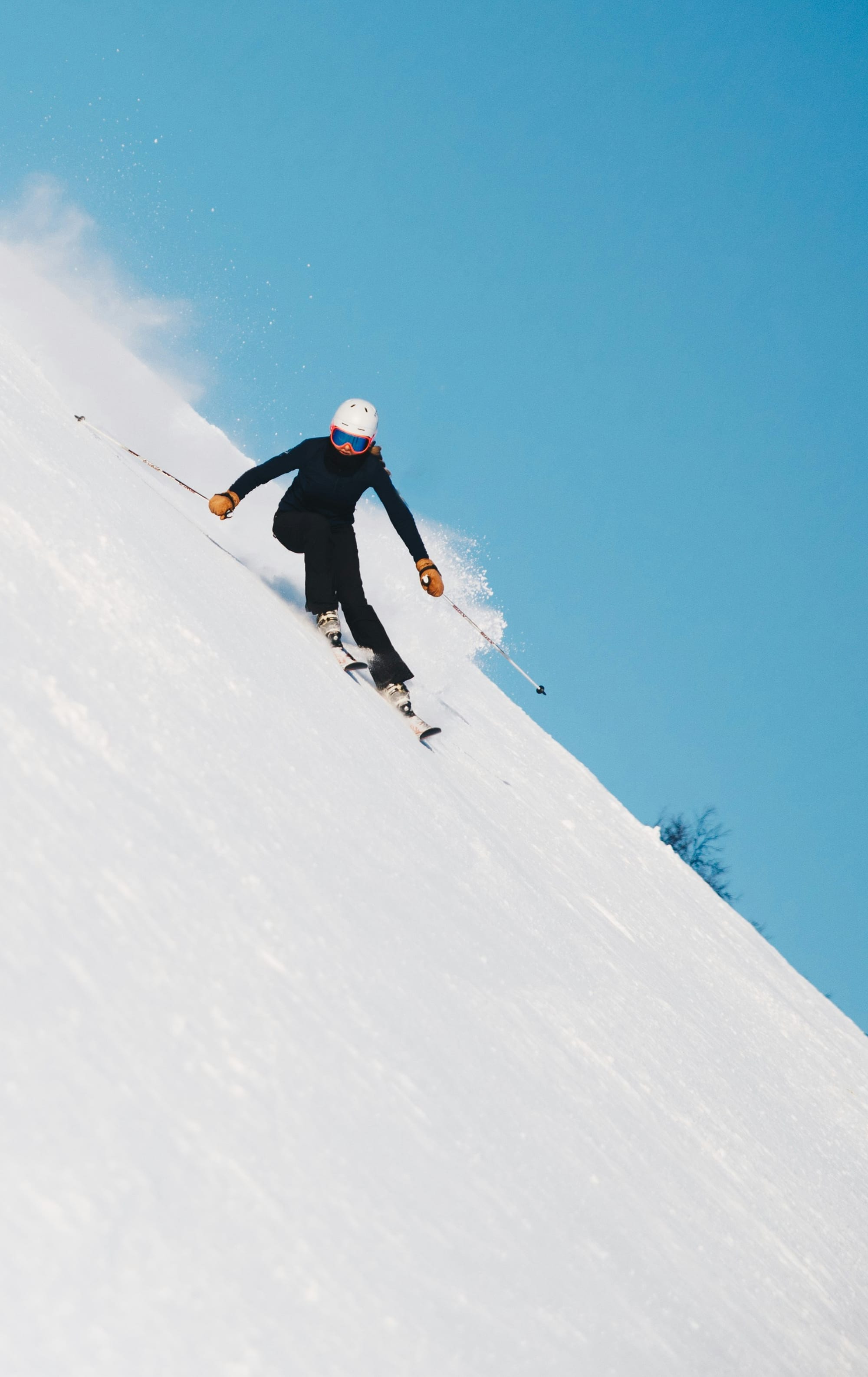
GPS Watch Altimeter Precision: Barometric FusedAlti vs Raw GPS Drift in Steep Alpine Terrain
Steep alpine terrain exposes every weakness in a watch’s altitude system. Cliff walls block satellites, couloirs throw reflections back at the receiver, and raw GNSS height can wander by roughly ±15 m to ±30 m when the sky tightens and multipath piles up. In that country, barometric fusion is not a luxury feature; it is the mechanism that keeps the vertical story tied to the mountain instead of to noise.
That is why Suunto’s FusedAlti matters. It combines GPS and barometric altitude so the pressure sensor handles the fast local changes while GPS re-anchors the reference and reduces temporary and offset errors.[1][2] Suunto says FusedAlti runs by default during GPS exercise recording and navigation on supported models, and it can be re-referenced when conditions allow a better fix.[1][2]
The standards side is simple and non-negotiable: ISO 9407:2019 defines Mondopoint as a footwear sizing and marking system based on measured foot dimensions, with size expressed in millimetres.[3] That matters here because a size without a standard is just a marketing number, and alpine equipment deserves the same discipline whether the subject is a boot shell or an altitude sensor.
The core mechanical decision
Raw GPS altitude can be acceptable on a clean ridge with broad sky exposure, but it remains the weakest axis of GNSS because the vertical solution tolerates geometry poorly. In a couloir, beneath a serac, or along a traverse pinned between rock walls, the watch is not reading the mountain so much as bargaining with the sky, and that is where barometric fusion wins decisively.
For route work, that difference is not academic. A false 20 m gain can distort pacing, summit timing, descent planning, and avalanche terrain judgment. A watch that cannot hold vertical continuity in constrained terrain is not giving route intelligence; it is giving map noise.
Why raw GPS altitude fails in alpine geometry
Raw GPS altitude is brittle because the receiver needs a clean satellite spread to resolve the vertical axis, and alpine walls wreck that spread. The result is a vertical estimate that can swing while the athlete barely moves, especially in narrow valleys, chimney lines, and snow gullies where reflected signals contaminate the solution.
That error band matters because mountaineering decisions are built on vertical confidence. If the ascent total is wrong, the pacing is wrong; if the timing is wrong, the descent plan can be wrong; if the watch cannot preserve vertical continuity, it is not a reliable alpine instrument.
Why uncalibrated barometers drift in weather
Barometric altitude is physically elegant and operationally ruthless. Pressure falls as elevation rises, but pressure also changes with weather, which means an uncalibrated barometer can confuse a passing front for a climb. NOAA’s hypsometric relationship is the governing framework here, and the common rule of thumb that a 1 hPa pressure change corresponds to about 8.4 m of apparent elevation error is large enough to swamp a short skin track or a technical step-up if the watch is not corrected.
That is the barometric trade: excellent short-term responsiveness, but vulnerability to synoptic pressure change. Left alone, it will drift in a fast-moving front and keep telling altitude lies with perfect confidence.
FusedAlti as the alpine compromise
FusedAlti exists to exploit the strengths of both sensors while suppressing their failures. Suunto’s documentation describes it as a combination of GPS-based altitude and barometric altitude that minimizes temporary and offset errors, with altitude measured by FusedAlti by default during GPS exercise recording and navigation on supported models.[1][2]
In practical alpine terms, the barometer gives instant vertical texture while the GNSS reference prevents pressure drift from slowly walking the athlete away from reality. The result is a watch that can follow a rapid ascent, a ridge undulation, or a descent into a shaded basin without the lag and stutter of GPS-only altitude.
Comparative decision matrix: raw GPS vs barometric fusion in the mountains
| Use case | Raw GPS altitude | Barometric FusedAlti |
|---|---|---|
| Open sky, moderate terrain | Usable for broad logging, but vertical precision remains weaker than horizontal position. | More stable and more trustworthy for ascent and descent totals.[1] |
| Steep alpine couloir, canyon, or cliff band | Vertical error can expand by about ±15 m to ±30 m because of masking and multipath. | Better route continuity because the barometer carries the immediate altitude response.[1][2] |
| Rapid weather change | Less affected by pressure, but still noisy in the vertical axis. | Can still drift if pressure is not periodically re-referenced, but fusion reduces the damage.[1][2] |
| Short, technical uphill pacing | Poor for instantaneous ascent rate because of jitter and lag. | Better for near-real-time ascent velocity and grade interpretation. |
| Avalanche line navigation and whiteout timing | Too unstable for route-critical vertical decisions. | Stronger option because it preserves short-term vertical fidelity. |
The watch class that belongs in serious alpine use
Suunto places the FusedAlti-equipped models in the category that belongs in serious alpine use, where dual-frequency GNSS and barometric altitude work together to keep the vertical readout useful under stress.[1][2] In that decision matrix, the relevant question is not whether the watch can log a number; it is whether the number stays coherent when the route turns technical.
Accuracy also has to last. A watch that cannot survive a long objective, a storm day, or a multi-pitch approach without falling into low-power compromise has already lost the argument, no matter how tidy the specification sheet looks.
Where the physics favors the barometer
The barometric sensor wins on responsiveness because pressure changes immediately with altitude change, so the watch can register vertical movement in near real time. That is why FusedAlti can support ascent velocity and grade-angle interpretation, which are useful as pacing instruments, line-choice aids, and safety cues in exposed terrain.
The raw GPS solution, by contrast, averages its way through a noisy geometric problem. It may converge eventually, but eventual is a poor companion when the slope hangs over a no-fall zone.
What to buy, and why
Choose a barometric-fused watch such as a Suunto model with FusedAlti when the day includes steep alpine routes, repeated elevation transitions, glacier travel, avalanche terrain, or any line where vertical precision shapes judgment.[1][2] Choose raw GPS altitude only for casual logging in open terrain where vertical noise will not distort decisions.
The buying logic is blunt. If elevation is merely a statistic, raw GPS can suffice. If elevation is part of navigation, pacing, and hazard management, FusedAlti is the correct engineering choice.
The field verdict
In steep alpine terrain, the mountain punishes weak altitude systems. Raw GPS altitude is vulnerable to masking, canyon geometry, and multipath; uncalibrated barometric altitude drifts with weather; and FusedAlti is the practical synthesis that keeps the watch honest when the route becomes technical and the sky becomes a bad reference.[1][2]
For alpine decision-making, the rule is hard and clean: trust barometric sensor fusion, not raw GPS height, when the line is narrow, steep, or consequential.
Sources used inline: Suunto FusedAlti documentation on combined GPS and barometric altitude[1][2], and ISO 9407:2019 for Mondopoint sizing discipline[3].